|
Have you seen the updated StoryMap of the Carmel River Watershed Health Report Card? CRWC continues to support this science based monitoring effort with CSU Monterey Bay. New indicators coming soon: threatened species, and wildfire and suppression focusing on sedimentation, erosion and other ecological impacts. 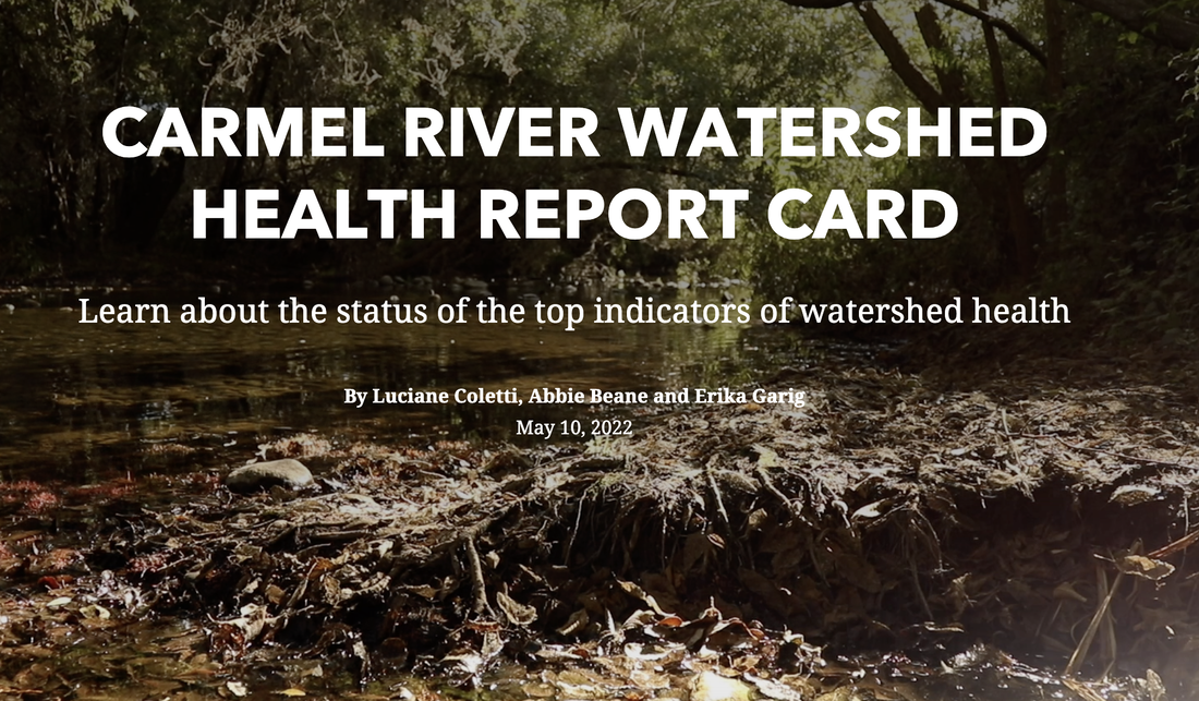
0 Comments
As part of the Monterey County Wildfire Resilience and Capacity Building Project, the State Coastal Conservancy has awarded a grant to the Resource Conservation District of Monterey County, Fire Safe Council of Monterey County, Central Coast Prescribed Burn Association, and Carmel River Watershed Conservancy. CRWC will receive support for a shared part-time position that aids in developing educational materials and organizing events within the Carmel River watershed area. This role will be collaboratively shared with the Fire Safe Council for Monterey County, focusing on wildfire prevention and management education in Carmel Valley communities. This grant represents a significant contribution to the broader effort of enhancing environmental and wildfire resilience in Monterey County.  Join us on March 24th from 11:00 AM to 3:30 PM for another community event dedicated to our state's incredible wildlife. This year, our focus will be "Species on the Edge," highlighting the unique and vulnerable species that call California home. Engage with insightful speakers and activities that bring you closer to understanding and protecting our diverse ecosystem. As always, this event is free and open to all. Mark your calendars and meet us at Palo Corona Regional Park in Carmel Valley for a day of learning, discovery, and appreciation for the wildlife around us!  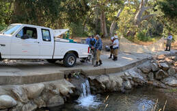 Fish rescues from 2019 Fish rescues from 2019 In 2023, the Carmel River Steelhead Association conducted a remarkable series of rescues, saving a total of 9,458 steelhead in 16 separate operations. Of the rescued fish, 28 were over a year old, demonstrating the presence of mature steelhead in the ecosystem. The majority, 9,422 in total, were juveniles, under a year old, highlighting the importance of protecting younger fish to ensure future generations. The association's proactive approach plays a crucial role in maintaining the ecological balance and health of the Carmel River's aquatic life.
CRWC is looking for a dedicated full-time or part-time Executive Director with expertise in environmental science, nonprofit management, and fundraising. This role will involve leading our environmental programs, handling administrative tasks, organizing events, working with stakeholders, and raising funds. Check our website for more details, and spread the word!
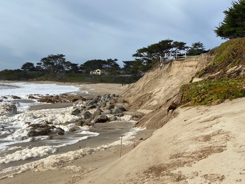
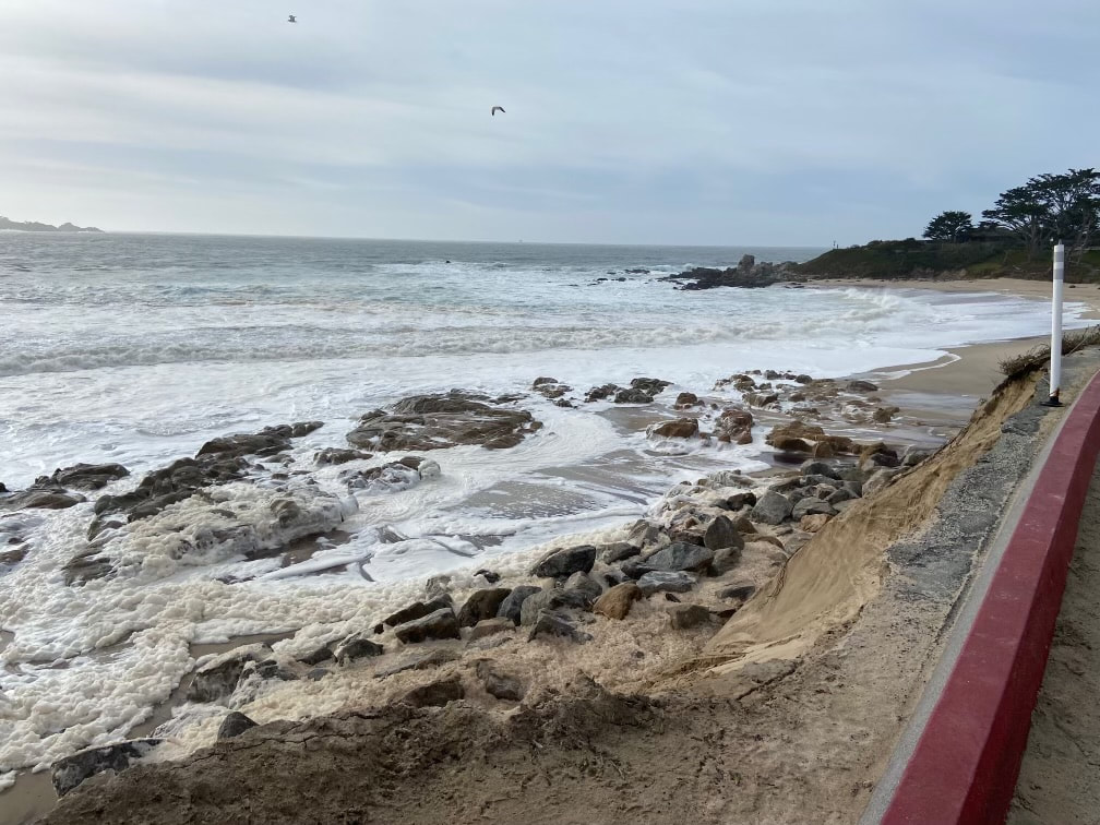
The Los Padres Dam in Carmel Valley faces safety issues from flooding, sedimentation, and capacity leading to two primary alternatives being considered by MPWMD and CalAm: upgrade the dam or complete removal. Upgrading the dam includes heightening it and improving fish passage facilities to meet safety and ecological standards. However, this option comes with higher costs and sediment management challenges. The impact on the local steelhead population is crucial, as only 20% of juvenile steelhead currently navigate downstream successfully. Alternatively, removing the dam presents a cost-effective solution, eliminating substantial operational expenses. However, it would result in the immediate loss of water storage, affecting dry season water release, though potential storage expansion could alleviate some concerns. Removing LP Dam water storage could harm steelhead during summer dryback on the River, and would also require finding new water rights for those associated with the reservoir. Dam removal is also expected to transform the area into a lush riparian valley, potentially enhancing the ecosystem yet presenting potential flooding concerns. This complex decision requires stakeholders to carefully weigh ecological, economic, and hydrological factors to determine the dam's future. Read more in the Los Padres Dam and Reservoir Alternatives and Sediment Management Study. 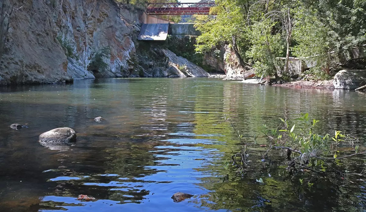 USFWS/John Heil The County has not yet set a firm completion date for its Lagoon/Scenic Road Protection Structure Revised EIR. County officials had set an ambiguous date of “Fall 2023” but that passed, purportedly due to delays caused by the continuing negotiations with the various permitting agencies for this EIR. The County did install sandbags and groom the southern end of River Beach to allow a breach in advance of the winter rainy season. CRWC will be meeting with the County in mid-December to learn what the new completion date will be.
 Photo from Monterey Peninsula Water Management District Photo from Monterey Peninsula Water Management District On March 31, 2023, Monterey One Water, the Monterey Peninsula Water Management District, and Cal Am signed a Water Purchase Agreement that gives the go-ahead for the Pure Water Monterey (PWM) Expansion project to be built. PWM, an advanced water purification facility, converts wastewater and stormwater into potable water, providing a valuable new source of water supply.
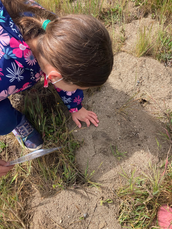
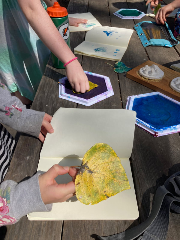
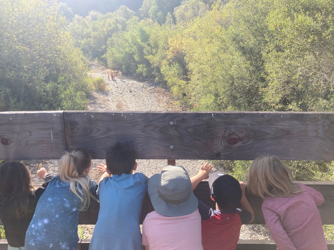
The expansion of the PWM project is crucial for securing Monterey Peninsula's water future. In a recent statement, Dave Stoldt, General Manager of the Monterey Peninsula Water Management District (MPWMD), emphasized the importance of innovative projects like Pure Water Monterey in tackling the region's water security. When completed, it will add 2,250 acre-feet per year of purified water to PWM’s initial production of 3,500 acre-feet per year. As a part of this project, two new wells will be drilled to allow recycled water be injected back into the local Seaside Basin as a component of the region's aquifer storage and recovery program. Thanks to a grant from the Carmel River Watershed Conservancy, the Santa Lucia Conservancy (SLC) educated 452 students from 24 classes in watershed structure, function, and ecology so far in the 2022-23 school year. Our educators created a brand new course, “watershed structure and function,” and developed a former “guided nature walk” into a “habitat exploration” class at our new Rancho Canada education site along the Carmel River. We also incorporated watershed concepts into existing classes including “redwood ecology” and “owls in Potrero Canyon.” During the introduction of each class, the educators define and break down vocabulary words for the day. Students learn terms such as biotic, abiotic, condensation, and interdependence. We incorporated nature journaling into many of our existing classes and provided paper, clipboards, and art materials. As classes walked the trails, our educators paused often to focus on activities that teach children to become keen observers, encouraging students to record their experience and express themselves through sketches, notes, leaf rubbings, and poems. “They are given the opportunity to truly be immersed as they stand in the middle of a redwood grove and look up, listen to the creek and bird song, inspect owl pellets, track mammal prints, and find salamanders under logs,” said Kirsten Stember, lead environmental educator for SLC. Classes that go through the Santa Lucia Conservancy’s Environmental Education Program explore what it means to have a healthy ecosystem, how native plants create homes for wildlife, and learn skills in scientific observation and outdoor exploration. Children gain an understanding of the watershed in which they live and an appreciation for the plants and animals that inhabit it. Perhaps most importantly, students are encouraged to slow down and connect more deeply with nature, providing mental health benefits and planting in their minds the seed of a conservation ethic that will grow as they do. 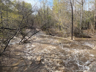 The Monterey region has experienced an unusually wet winter, with recent heavy rains causing both positive and negative impacts on the region. Abundant rainfall has led to a rebound in fish populations, reduced wildfire risks, with promised benefits to the region’s aquifer storage and recovery (ASR) system. However, the rains have also resulted in localized flooding and infrastructure damage.
This winter’s increased rainfall has led to improvements in anadromous populations. The wet conditions have enabled salmon and trout to migrate upriver to spawn, providing an essential boost to their numbers. This resurgence will not only benefit the ecosystem but also the California salmon fishing industry (source: ABC10). Steve Park of the Carmel River Steelhead Association explained that this also helped the Carmel River watershed’s steelhead populations. However, even though the improved river flow supports the local steelhead population, their three year cycle between the ocean and the river means the wet conditions need to be sustained for several years in order to show longstanding improvements to the populations within our watershed. Another additional benefit of the heavy rains is that they have stimulated vegetation growth. While the abundant precipitation has led to more moisture in vegetation and soil, creating a less flammable environment (source: Fast Company), the rapid growth of new vegetation could also provide additional fuel for fires in the future. This shows how managing wildfires is complex and can be affected by various factors. Additionally, the heavy rains have positively impacted aquifer storage and recovery (ASR) in the Monterey area. ASR involves capturing excess surface water during wet periods, like this winter, and injecting it into the Seaside Groundwater Basin. This process improves water supply reliability and reduces dependence on imported water for the region (source: MPRPD). Jon Lear, Water Resources Division Manager with the Monterey Peninsula Water Management District, reports 1,341 Acre Feet of water have been injected as part of ASR this year. This included 13 Acre Feet per day at the two Santa Margarita Wells, which is the maximum permitted for the region. Two new wells will be built soon, which will allow for additional water to be recovered from future rain events. However, these historic rains have not come without damaging impacts. Local reports state the region has received well above the average annual rainfall, with some areas experiencing up to 150% of their typical precipitation (source: MC Weekly). Localized flooding and damage to infrastructure have been reported across the region. Roads and bridges have been affected, and some residents have been forced to evacuate their homes due to the risk of landslides. As the rains subside, communities and authorities must address these issues and prepare for future extreme weather events. |

 RSS Feed

Carmel River Watershed Conservancy, 225 Crossroads Blvd Suite 322, Carmel, California 93923, United States
[email protected]
[email protected]
Header Images © Luciane Coletti. All rights reserved.
© Carmel River Watershed Conservancy. All rights reserved.
© Carmel River Watershed Conservancy. All rights reserved.